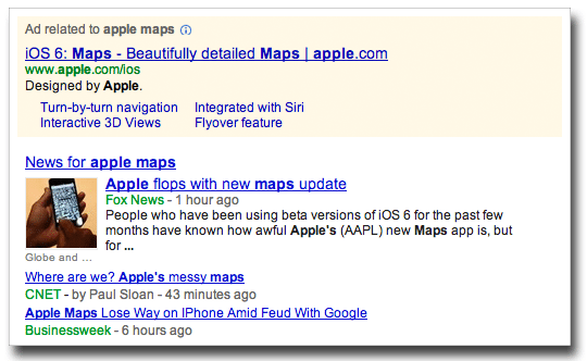
Response to Apple’s iOS 6 Maps app hasn’t been pretty. The Web is ringing with cleverly critical headlines and, surprise surprise, an ironic Tumblr site has popped up, called “The Amazing iOS Maps” (subhead: “The Apple iOS 6 Maps are amazing. Not”).
If you’ve already downloaded iOS 6, you might want to check out these five free alternatives to Apple Maps to keep you on the right path.
For bikers, walkers and public transit riders: HopStop
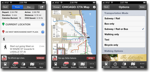
HopStop has to be my favorite of the bunch. Minus the ads, the app has a nice clean setup and gives directions via subway, bus, walking, taxi and bicycle. They also give you a bit of supplemental information, like the amount of calories burned and CO2 saved on your trip. Basic transit maps are included for several cities, including Chicago, Boston, San Francisco and New York – a nice option if you need a general look at train lines rather than specific directions.
For maps and a full search engine: Bing
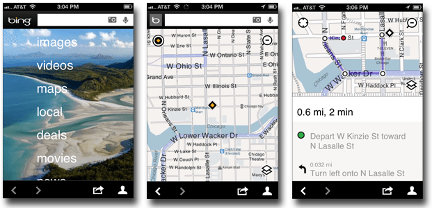
Maps are just one part of Bing’s mobile app, which also lets you search videos, images, movies and news. This is one of the more aesthetically appealing options of the bunch, with clean colors and large, easy-to-read directions. Much like Google Maps, Bing offers driving, transit and walking directions. If you store contacts’ addresses in your address book, you can conveniently get directions by selecting their name.
For drivers who don’t mind ads: MapQuest
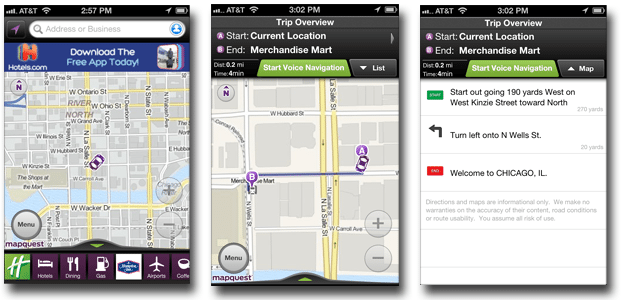
If you’re not bothered by ads, MapQuest is a decent option – but be warned that hotel banner ads take up a good amount of screen space both above and below the map. The app offers routes for driving and walking (no transit), and will voice navigate so you can find your way hand free.
For the social mapper: Google Latitudes
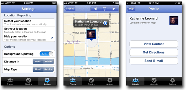
Google Latitudes is more social than navigational. The app lets you check in to locations, as well as find friends and let them know where you are. The map is easy on the eyes, but most local establishments don’t show up. Selecting “Get Directions” actually boots you out of the app and into Google Maps via your web browser.
For aerial views: Google Earth
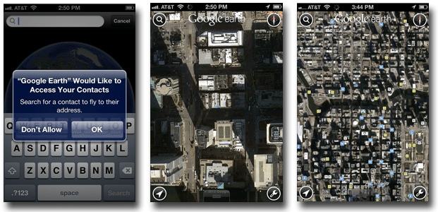
Google Earth uses Google Maps data, but without street names, street views or directions, it’s not the best for navigating, especially when it comes to dense city blocks. You can, however, give the app access to your contacts and then “fly” to their address – which again, looks cool but doesn’t provide much utility. Bus stops do show up on the app, but I know I need a bit more information to get where I need to go. Overall, the app is probably more helpful for seeing what people’s rooftops look like than for getting directions.
This list is bound to grow as developers try to fill the gaping hole left by iOS 6 maps, and thankfully, TechCrunch is reporting that “Google hopes to have an iOS Maps app in the App Store before Christmas.” In the meantime, explore these options and share any of your favorites with us.
And for any Chicagoans, check out this list of5 great Chicago transit apps.
